Ryde Street Names
Ryde, Isle of Wight street names which have changed over the years:
Brunswick Place or Street
On a 1866 map shown as Brunswick Place and on a 1909 map as Brunswick Street, post WW1 Station Street and so it remains today (2020). Probably changed during WW1 to remove the German connection.
Cemetery Street
Cemetery Street is shown on the 1866 and 1897 OS maps for today's Milligan Road. As Ryde Cemetery only opened in 1842, it can only have been know as Cemetery Street from that date.
Church Street, Swanmore
Church Street, Swanmore is shown on OS maps from 1862 to 1946 for today's St Michael's Avenue.
Clay Lane aka Rope Walk
The old Coastguard Station at Ryde, between the modern day Esplanade and Castle Street, was recorded in the 1851 as being on Clay Lane; later the lane was known as the Rope Walk and more recently Nelson Lane.
Dover Street
Dover Street is probably named after the Dover/Duver (an Isle of Wight term for a low-lying sandy piece of land on the coast, which is sometimes covered by the sea) which existed in years past between what is now, the Hovercraft terminal and Appley slipway.
This would also explain the name of Dover House etc.
With the development of Ryde Esplanade over the years, there are no remaining signs of the original coast line environment.
Pier Street
Pier Street, Ryde no longer exists.
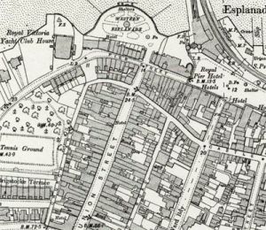
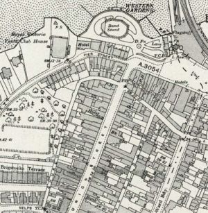
Until the 1930's, Pier Street was formed at the western end of the current Esplanade by Royal Pier Hotel and other buildings on the sea side, from opposite the bottom of George Street westward to the present building on the sea side of the St Thomas's Street. This meant it could be hazardous for motor traffic turning from Union Street into the relatively narrow Pier Street.
In 1929 a bus travelling down Union Street overturned on turning the corner into Pier Street, killing the conductor and a passenger. After the inquest, it was decided that the range of buildings on Pier Street, from Union Street, eastward, were a traffic hazard and the Royal Pier Hotel, with the other buildings, were demolished.
With the removal of these buildings, 'Pier Street' became shorter, just in front of the remaining properties - late they formed the lower part of St. Thomas Street.
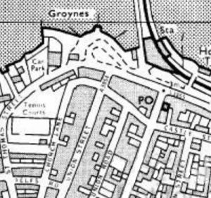
In the early 1970's, the west end of the Esplanade was remodelled, the remaining properties on the sea side of the old Pier Street were demolished and the area of highway was absorbed into the Esplanade.
Queen's Road
Queen's Road Ryde was previously Newport Road (being the road to Newport) as shown on the 1866 OS map, the 1898 OS map shows Queen's Road from West Street westward, the section from West Street to the High Street being labelled Newport Street.
Riboleau Street
Named after Vice-Admiral Peter Ribouleau (1768-1847) who had his county house there (St John's Lodge - built 1830, demolished early 1900's). Admiral Ribouleau died in Ryde on 16th December 1847 and was buried in the catacombs of St. Thomas's Church[1].
The street appears to have been originally the ‘tradesmen’s entrance’ from Star Street (2021, Park Road) just to the Lodge. After the Lodge was demolished, the street was extended through to St. John's Road.
Rope Walk
See Clay lane above
Star Street
Star Street, Ryde, Isle of Wight was shown old maps (1864 OS) as going from the High Street, all the way down to Monkton Street - from the 1898 OS map onwards, the lower part of that road from Player Street/Barfield is identified as Park Road, all the way to West Hill Road.
Union Street
Although Union Street, Ryde, Isle of Wight does join Upper and Lower Ryde, it was actually named after the 1804 Act of Union.
West Street
West Street Ryde is shown on the 1866 OS map as between Spencer Road and Newport Road (now Street), the road did not extend southwards in front of the east end of All Saints church. The 1898 OS map, shows West Street extending south.
- ↑ St Thomas's Church Burial Register - IW CRO


